Your cart
Cart
items
Shopping cart



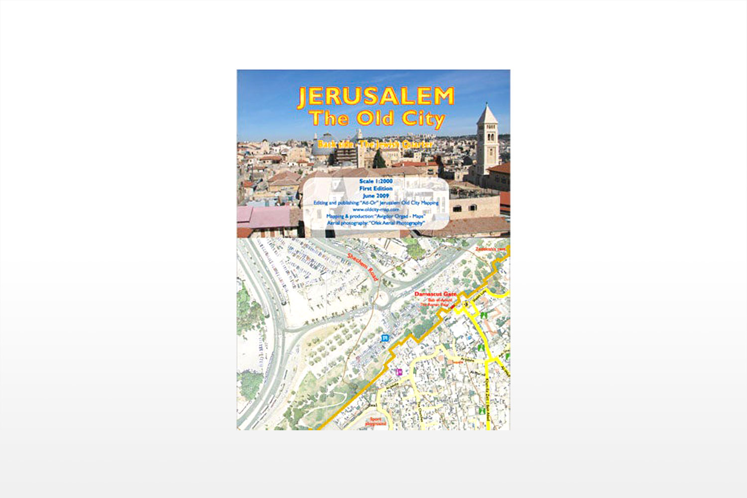
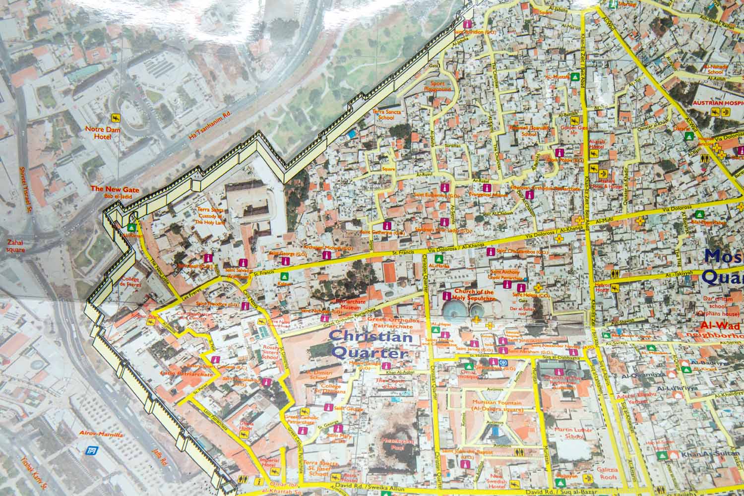
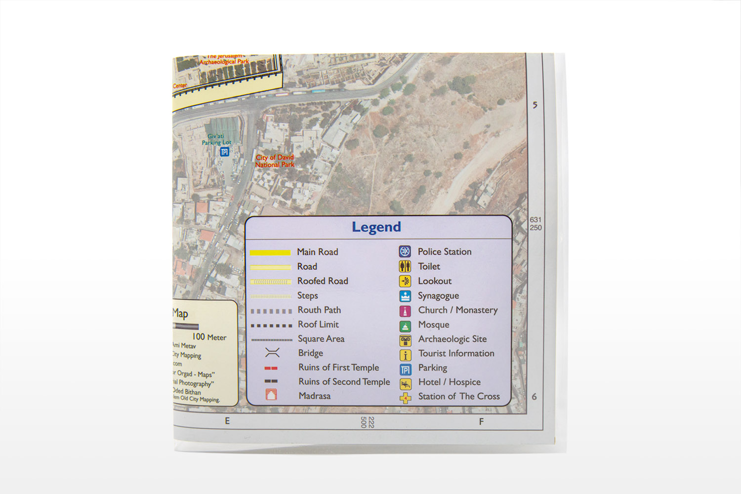
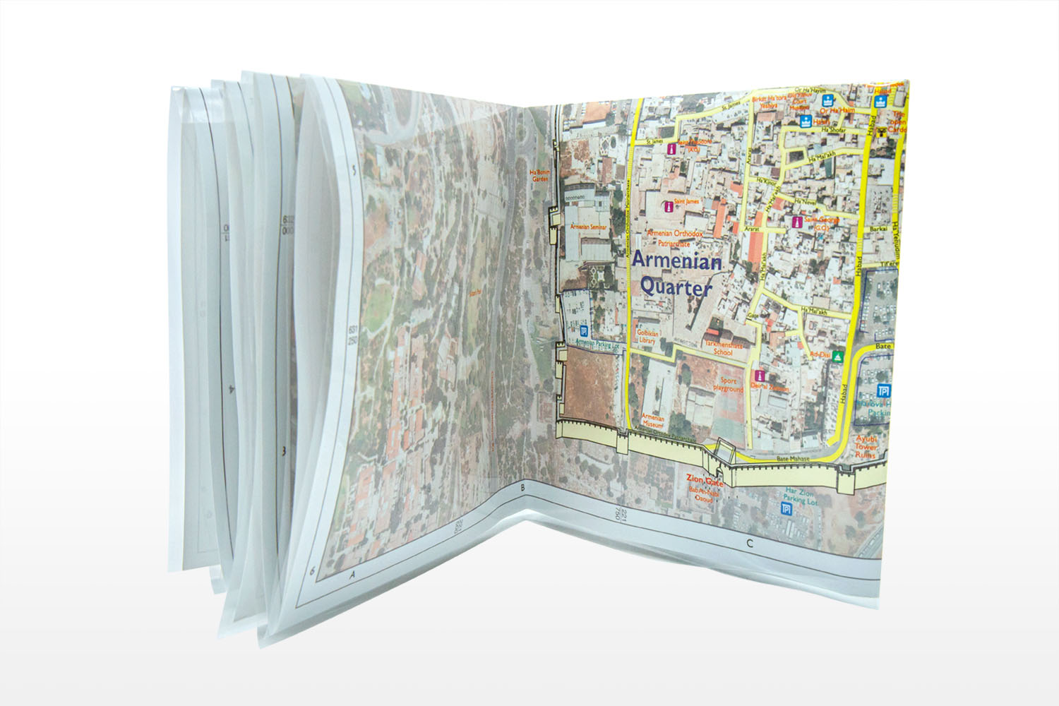

For those planning to travel, have traveled, or love the Old City of Jerusalem, this is a must-have map!
After years of meticulous study, aerial photographs, and walking the Old City of Jerusalem, publisher Ami Meitav, has produced the definitive map of the Old City of Jerusalem.
The map includes all of the streets of the Old City with their real and contemporary names, which makes navigating the Old City easier. You will be able to discover all the hidden alleys, churches, monasteries, synagogues, and more!
The map is laminated, making it easy for travel, and you can even mark planned routes and destinations on your map.
Orgad Maps is managed by Avigdor Orgad, a professional cartographer and graduate of the Department of Geography at Tel Aviv University. Avigdor holds a master’s degree in geography and has over thirty years of experience in mapping and map editing.
Avigdor served as the cartographer of the Department of Geography and a research assistant to Prof. Moshe Braver for five years, where he published world maps and maps of Israel. He also served as a chief cartographer at Columbus in Germany. Columbus is world-renowned for producing high-quality globes. While there, he edited and updated a new series of globes by the National Geographic Society.
Avigdor is known worldwide as an expert cartographer with an outstanding reputation in the fields of globes and maps. Avigdor exhibits his works at the World Book Fair in Frankfurt and the World Fair in Hong Kong annually.


 Item was added